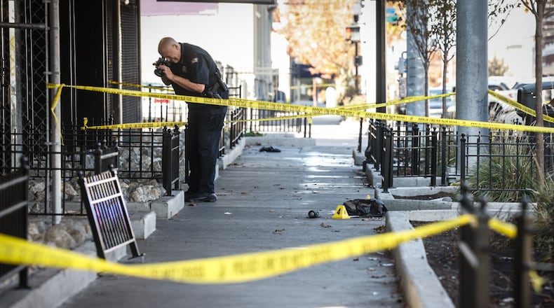
>> It’s gunshots ‘all the time’ in their Dayton neighborhood
>> VIDEO: How Dayton police chief says city can reduce violent crime in hot spot neighborhoods
Below are maps showing gun violence trends in recent years and over the past quarter century.
Last year
Dayton Police Department data shows there were about 135 incidents of violent gun crime with injuries in 2024.
Most of these events were shootings. But the data also includes incidents where an injury occurred and the suspect had a gun, like if someone was struck or beaten with a pistol.
About 57 violent gun crimes with injuries last year took place in the northwest geography, and 50 occurred in the west geography (79% of the total), according to police data analyzed by this newspaper. About 10% of violent gun crime occurred in the southeast area; 7% occurred in northeast; and 3% took place downtown.
Four in 10 Daytonians live in the west and northwest geographies (41% of the population), according to data from the 2020 Census.
Historical data
Dayton Police Chief Kamran Afzal said the police department pulled 26 years worth of crime data to create a heat map that shows the most common locations of firearm-related homicides and felonious assaults.
He said since 1999 gun violence has been notably clustered in the Santa Clara area around the North Main Street corridor in northwest Dayton, and the Miami Chapel area in West Dayton, which is home to the DeSoto Bass Courts public housing complex.
The heat map also says the Summit Square apartments in northwest Dayton has been a gun violence hotspot.


